Fast Shipping
Ships Today
Your shopping cart is empty!
All Categories
$499.00
$549.95

Fast Shipping
Ships Today
Easy
Returns
Lowest Price
Guarantee
• This product is a 100% brand new original Navionics Platinum+™ chart, Australian Stock
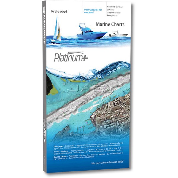
• Platinum+ charts are the most detailed and sophisticated Navionics charts available on the market
• Head out with confidence with the advanced features found on Platinum+ charts!
• All the same marine and lakes content and advanced features found in Navionics+ but are also augmented with the following:
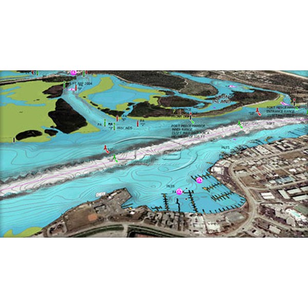
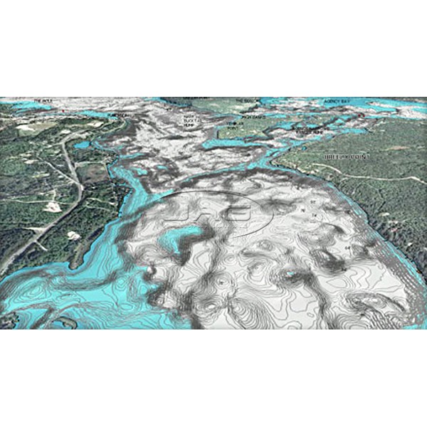
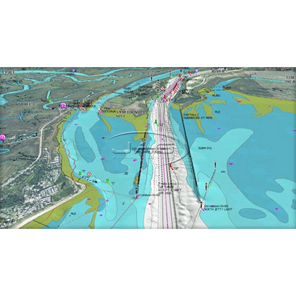
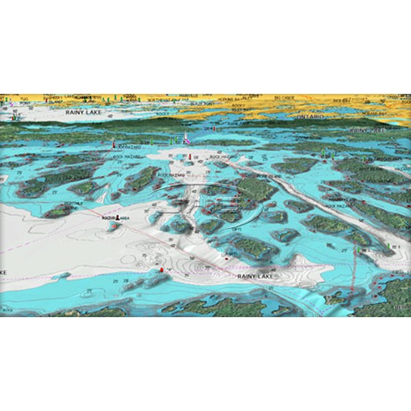
• Multi-dimensional (2D and 3D) views, take the navigational experience to a whole new level
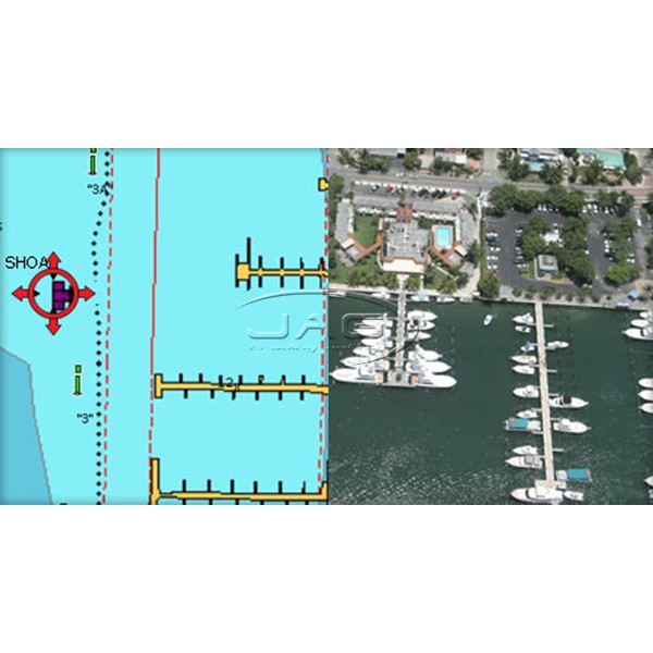
• Satellite overlay - great for congested ports and marinas
• Integrated aerial imagery layer
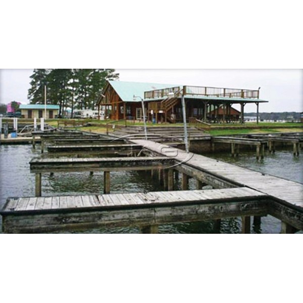
• Panoramic port photos
• Perspective viewing options, for harbours, marina entrances, and surrounding topography
• Consult geo-referenced Coast Pilot and coastal points of interest conveniently while underway
• Platinum+ charts are eligible for Freshest Data which now includes the new SonarCharts layer
• Daily updates and advanced features are included online for one year
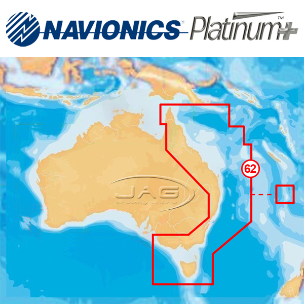
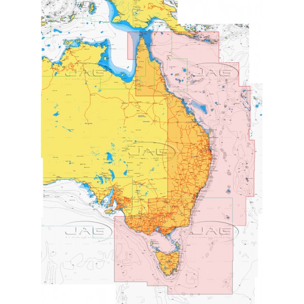
• Huge coverage area of Australia East Coast - From Cape York Peninsula to Bass Strait, Tasmania, including:
• Furneaux Group
• Lord Howe Island
• Great Barrier Reef
• Coringa Islands
• Brisbane
• Sydney
• Deboyne Islands
• Milne Bay
• Melbourne
• Norfolk Islands
• and more!
• (See detailed coverage area above)
Specifications
• SD/MSD (MicroSD format with SD adapter)
• Compatible with various makes and models of GPS chart plotters which take Platinum SD/MSD card - Please ensure this card fits your model before ordering
• Raymarine
• Lowrance
• Simrad
• Humminbird
• B&G

